We are profiling some of the APIs over at the United States Geological Survey (USGS), and thought that the types of data they provide were interesting, and very relevant when it comes to the types of data we should be making work for us real time. The USGS describes its data as real-time, but in reality, it is delivered via web APIs, providing XML, JSON, and GeoJSON feeds. It is extremely important that they are providing this data via APIs, but we see a huge opportunity to make sure that the last mile of delivery truly is real time.
The USGS provides a number of raw data downloads as well as APIs, spanning almost every aspect of the environment that you can imagine–with these nine areas covered:
– Earthquakes – View the most recent events or search for past earthquakes. View or report earthquakes in your area and more.
– Water – Get current water conditions that are important to you, such as water levels, streamflow, temperatures, and more.
– Floods – View the U.S. map of flood and high-water conditions. You are able to narrow your view by State and by water resource region.
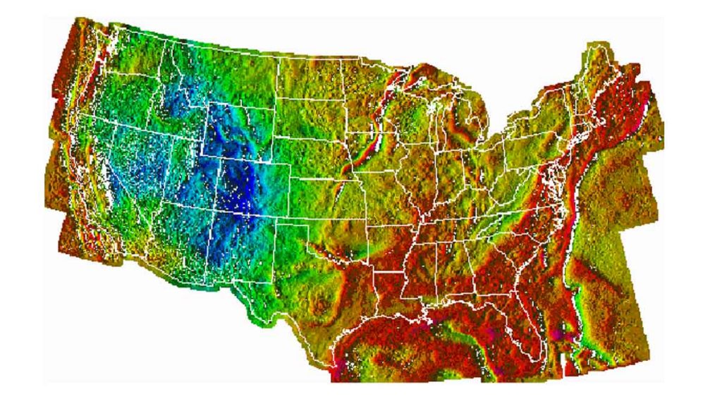
– Geomagnetism – View graphs of real-time magnetic data from USGS and partner observatories and download historical definitive data.
– Remote Land Sensing and Landsat – The USGS operates the Landsat satellites and provides the Nation’s portal to the largest archive of remotely sensed land data in the world, supplying access to current and historical images. These images serve many purposes from assessing the impact of natural disasters to monitoring global agricultural production.
– Landslides – Landslide alerts are issued through the Landslide Hazards Program. You can also report a landslide or see reported landslides at Did You See It? Get the latest landslide monitoring information and alerts.
– Volcanoes – See real-time alerts for U.S. volcanoes, subscribe to notification services, or choose an observatory that monitors and studies the geology and hazards of their specific locations.
– Droughts – View the U.S. map of a below normal 7-day average streamflow compared to historical streamflow for the day of the year. You are able to narrow your view by State and by water resource region.
– Wildfire – Explore maps of current fire locations and perimeters in the conterminous 48 States and Alaska as well as view and download landfire data sets, receive alerts and notifications.
Almost everything at the USGS is available as simple and modern web APIs, making this data a pretty prime target for turning into streams. Environmental data is something we haven’t covered much here at Streamdata.io, but the API Gallery has been pushing us to look at alternative areas where data and APIs are being published. Opening our eyes up to the possibility of streaming environmental data to web and mobile devices, as well as to train machine learning models.
We are going to keep working our way through the federal government data and APIs that we listed a couple of weeks back. We are looking for simple web APIs that we can profile as part of the Streamdata.io API Gallery, and when we find APIs that have a high StreamRank we will publish them to the portion of the gallery where we highlight the APIs that have the highest potential for delivering as streams. Eventually, we will publish all of them as real-time feeds, and allow users to subscribe to the different topics they make available, allowing data providers to deliver more precise environmental data streams using Streamdata.io.


Follow us on social